New Course added to our catalog of aviation and air security, visit them for more information

Aeronautical Maps and Charts Course

Aeronautical Maps and Charts Course
Apply Now
21 Sep 2026
→
09 Oct 2026

Course Aim
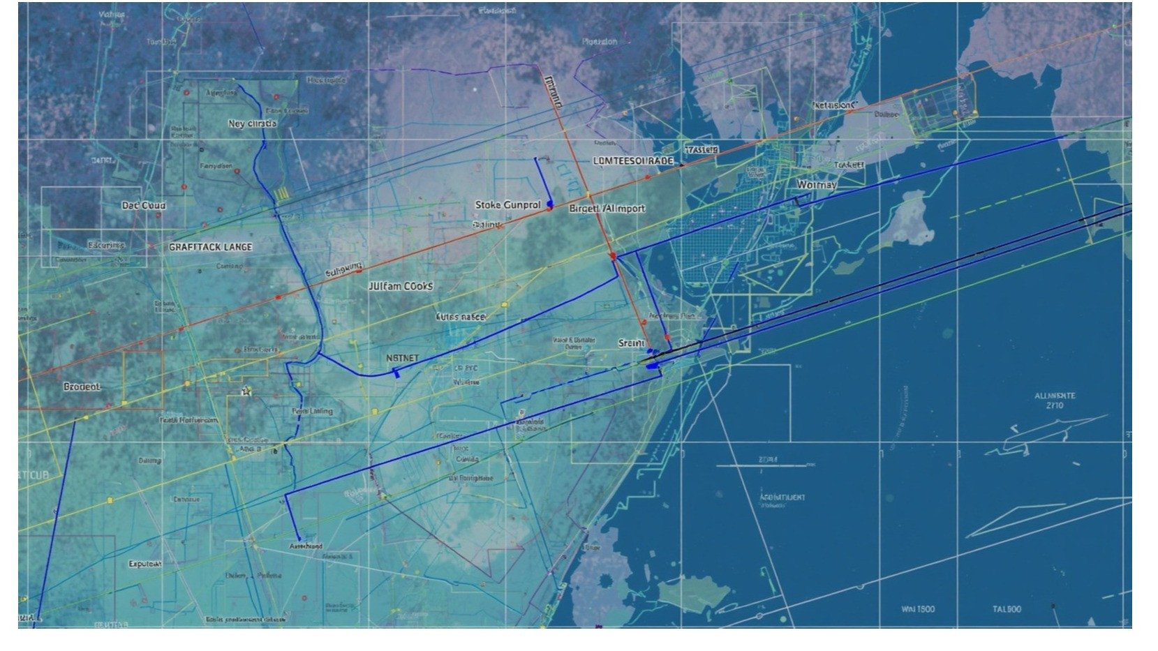
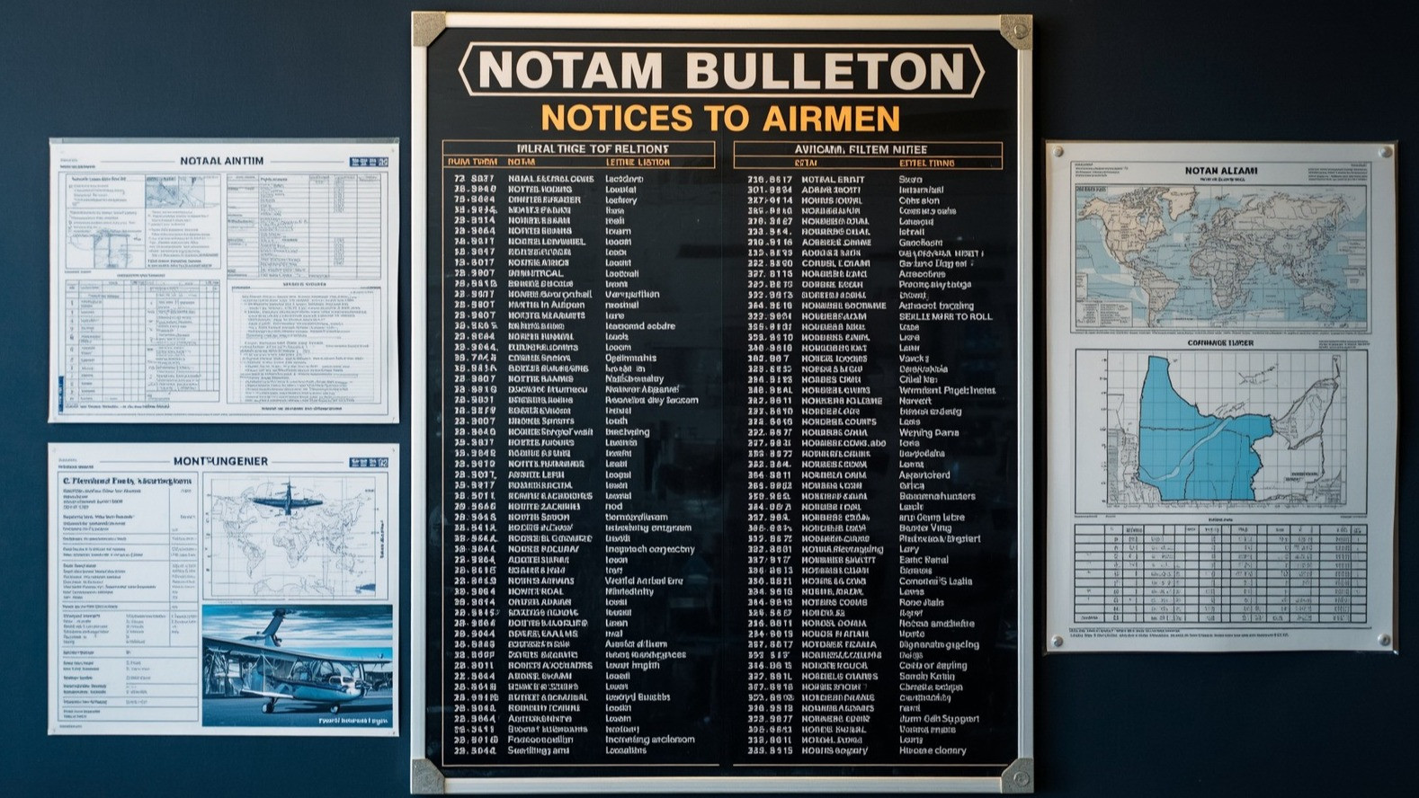
This course is designed to impart knowledge and skills on how to interpret Aeronautical Maps and Charts.
Course Code
AIS Maps
Who should attend
- Aeronautical maps and charts users
Entry Requirements
- Minimum age: 21 years.
- Education or Qualification Requirements: Advanced Certificate of Secondary Education Examination (ACSEE) or equivalent with passes in Physics and Mathematics.
- Medical requirements: Nil.
- Linguistic requirements: Fluent in English Language.
Course Content
Overview of Aeronautical Maps and Charts
- Effective use of Aeronautical Maps and Charts
- Interpretation of Aeronautical Maps and Charts
Course Duration
- 2 Weeks
Course Fee
- Tanzanian: TZS 1,500,000
- Non-Tanzanian: USD 1,500
course fees
TZS
1,500,000
USD
1,500.00
Course Profile